Remote sensing for wind energy
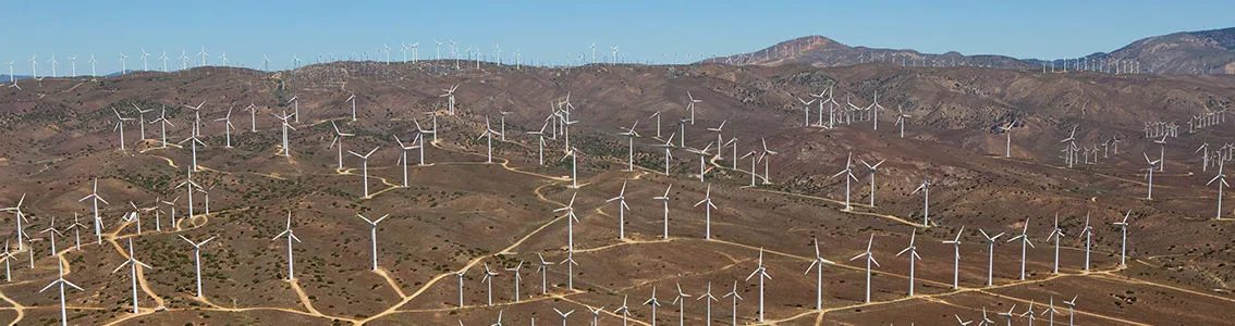
Independent LiDAR and sodar expertise and turnkey services in on- and offshore wind for all your remote sensing needs, from resource assessments to power curve measurements and performance monitoring.
By measuring wind conditions across and above the turbine rotor, remote sensing technologies can play a key role in cutting the cost of wind energy. They help:
- Turbine manufacturers to assess turbine power output in response to wind conditions more precisely and hence bring new products to market
- Wind farm developers carry out wind resource assessments and achieve significant savings compared to classical anemometry using met towers
- Wind farm operators monitor performance more effectively
Turnkey services for LiDAR and sodar
To help you get the most out of remote sensing, we offer a dynamic and completely independent range of turnkey services – validating and deploying the equipment, conducting the measurements and providing you with the data. We have extensive experience in both laser (LiDAR) and sonic (SoDAR) systems operations onshore, as well as offshore and can support you in all aspects of remote sensing. This includes:
- Assessing new remote sensing technologies
- Choosing the right remote sensing solution for your needs
- Validating your unit before field deployment at our new German test site adjacent to an IEC compliant reference met mast
- Siting, deploying, commissioning, operating and decommissioning LiDAR and SoDAR systems
- Data collection and analysis for formal energy and site assessments through Resource Panorama
- Ground and nacelle based turbine performance testing, e.g. for turbine power curve measurement and verifications
Respected independence
We don't produce LiDAR or SoDAR solutions ourselves – so we aren't tied to any particular technology. That means you can be sure our advice and recommendations are completely impartial and independent: we focus on your needs.
As part of the large DNV family, we have built up extensive expertise in all kinds of LiDAR and SoDAR. We've been an active player in developing guidelines and standards for both testing and using remote sensing technology, and pioneered its use offshore. By working with us, you have full access to all this insight to help you make the right remote sensing choices, whether you are measuring wind farm performance, introducing new wind turbines or developing novel remote sensing solutions.