Satellite-based remote sensing for energy infrastructure
Providing cost-effective and innovative technology to monitor and manage power grid- and renewable infrastructure assets from space
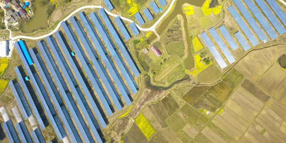
Asset planning, management and monitoring from space
An efficient and reliable energy infrastructure is vital to society. Asset managers and grid operators are under increasing pressure to improve performance and reliability of power grids and plants. Remote sensing by means of Earth observation satellites (SatEOs) provides an innovative and cost-effective way to support asset planning, asset management and risk management. It can reduce the need for human inspections and enables advanced decision support and risk management.
SatEO-based geospatial analytics for strategic management of assets and risks
Geospatial analytics based on satellite-based remote sensing data offers an additional data source which can supplement or replace traditional methods that are often based on expensive and labor-intensive human inspection. It can for example detect risks of natural hazards such as fire, flooding and land subsidence. This helps in managing risks to grid and plant assets. Examples of such assets are transmission and distribution grids and pipelines, power plants (solar, wind) and substations. The technology could:
- reduce the need for for human inspections
- allow for cost-effective asset monitoring
- allow advanced decision support and management
Applications in the energy industry of this technology can be categorized into asset and grid planning, asset management and operational risk management.
Asset and grid planning:
- Site selection for e.g. wind farms, power lines, pipeline infrastructure
- Geotechnical and geophysical site investigation
Asset Management:
- Monitoring the structural integrity of assets such as towers, poles, wind plants and solar plants
- Monitoring land subsidence around energy infrastructure such as pipeline and plants
- Assessment of vegetation encroachments
- Asset condition management: damages, degradation, corrosion, etc.
Operational risk management
- Asset monitoring and event detection for natural hazards, such as floods, fires, earthquakes and land subsidence
- Risk management dashboards providing insights and decision support based on geospatial analytics
DNV's remote sensing data products
The energy companies of the future are using emerging digital technology to lower operational costs in asset management and operation. Satellite-based remote sensing is one of these technologies, and it can provide insights and value to asset managers and operators.
Our satellite-based remote sensing data products deliver multi-satellite, multi-sensor, multi-wavelength and multi-polarization processed data images. By aggregating big data and applying machine learning workflows, these data streams can be visualized in assets risk management dashboards that allow for improved situational awareness and decision support.